I stayed up way too late last night indulging various digital addictions. Oops. It was nice not having any internet two nights ago. At least tonight I have no internet again.
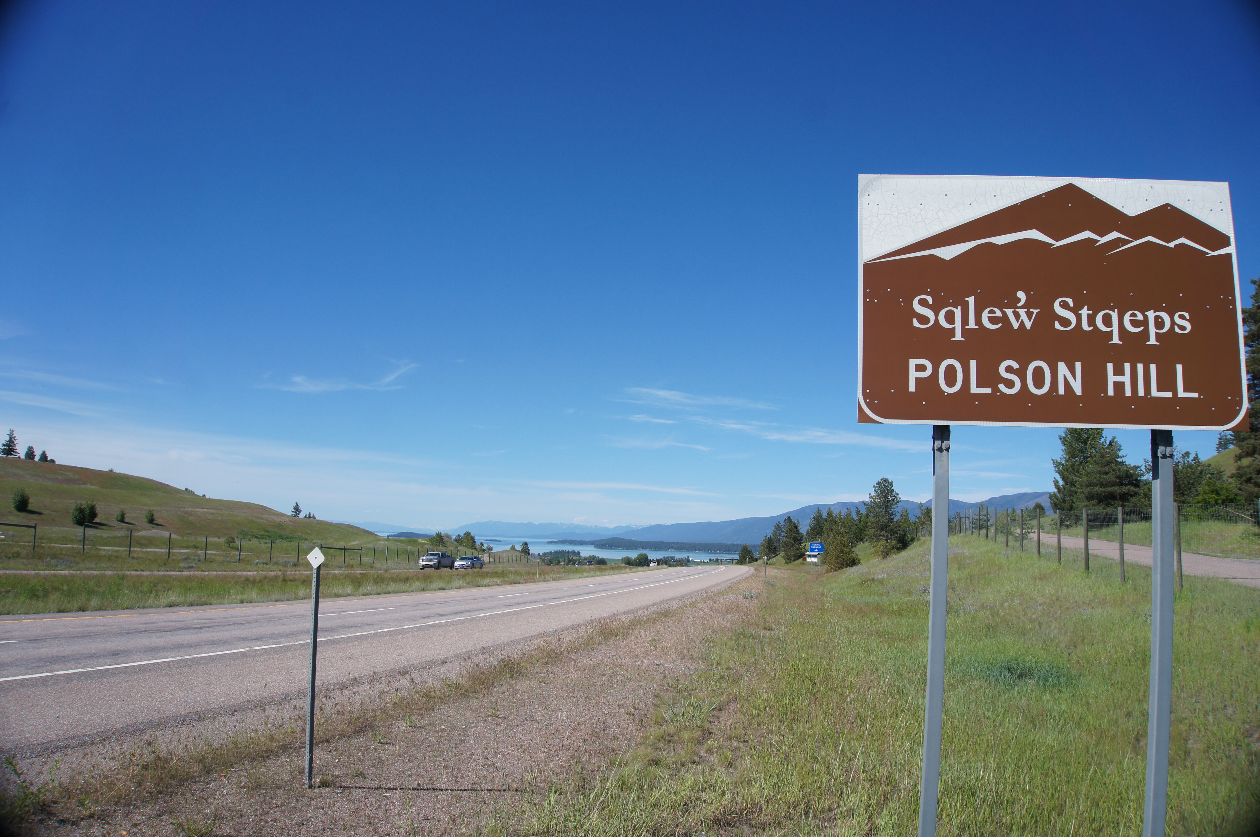
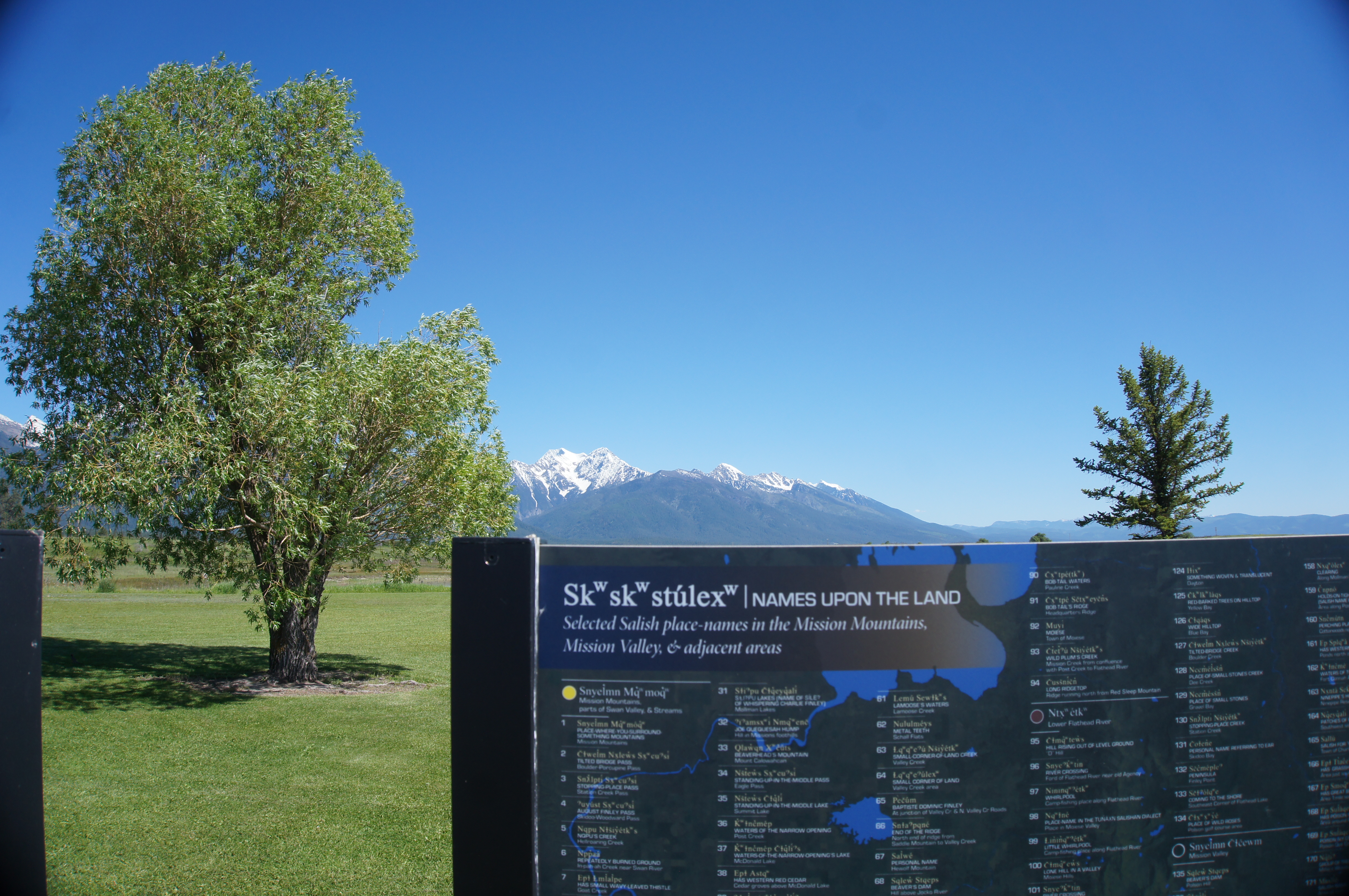
I started not far beyond Bozeman, and I passed through an Indian reservation (the Confederated Salish & Kootenai Tribes). Much of the signage was in both English and an American Indian language:
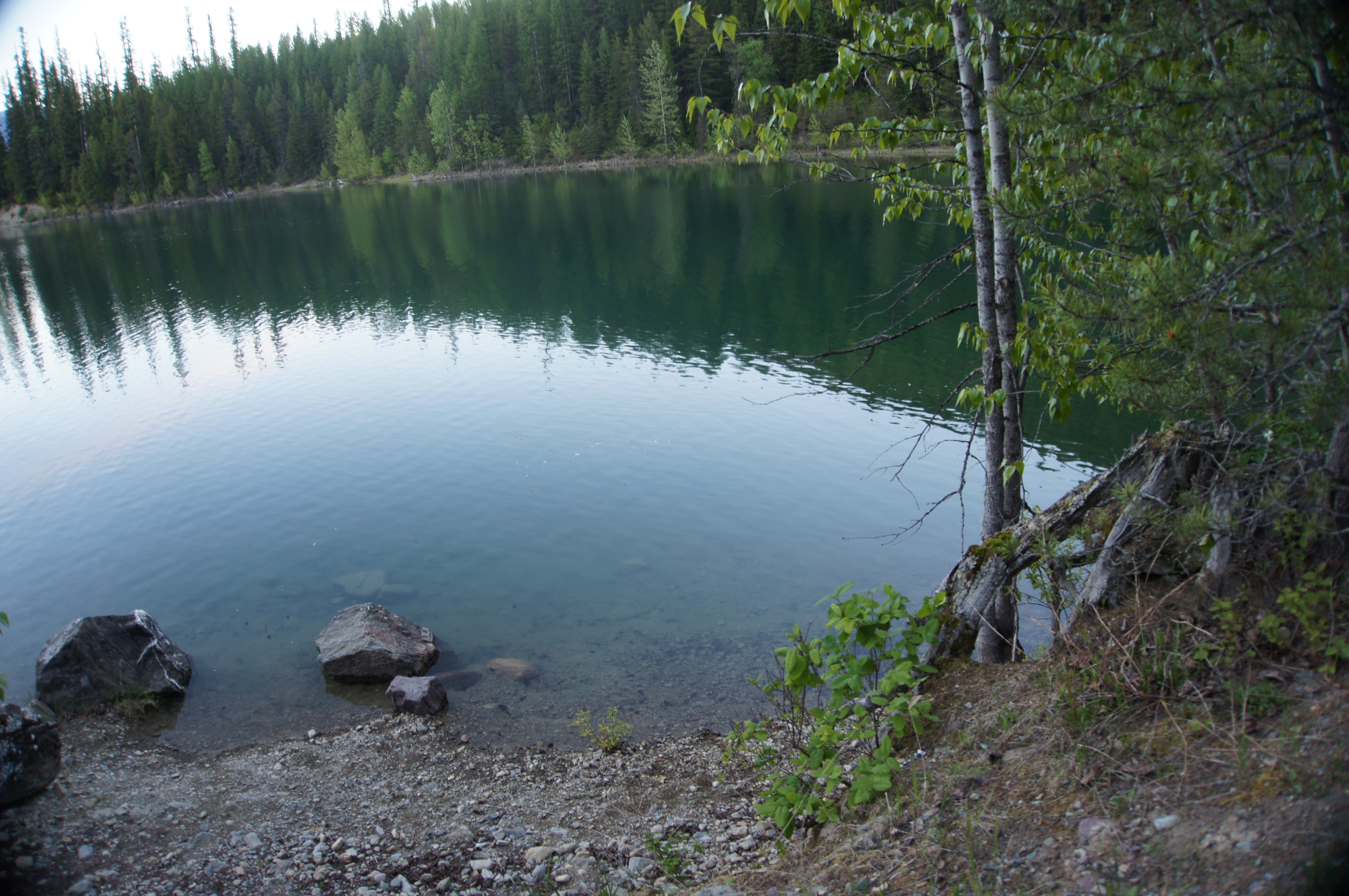
Now I am just outside Glacier. I drove down some National Forest roads until I found a place to camp (promised by Rand McNally that there would be something there).
So, this was my bath tonight:
I have been navigating mostly with the Rand McNally Road Atlas, only using my phone when I need to find a particular thing in a big city, like that hostel in Denver. It is a lot of fun. You get such a better intuition for where you've been, where you are, and where you're going. It's not like Google Maps, where you have to guess if that right turn at the next road on the map is down that little alley you're coming to or at the next major street and that alley is just not shown on the map. Instead, you just look at the road signs.
You face less uncertainty. You look at the world more. You look at your phone less. Use a Road Atlas.
Please send comments to blogger-jack@pearson.onl.